Week 22: White Pass to Snoqualmie
Day 155 ( September 2 ): To hot to hike
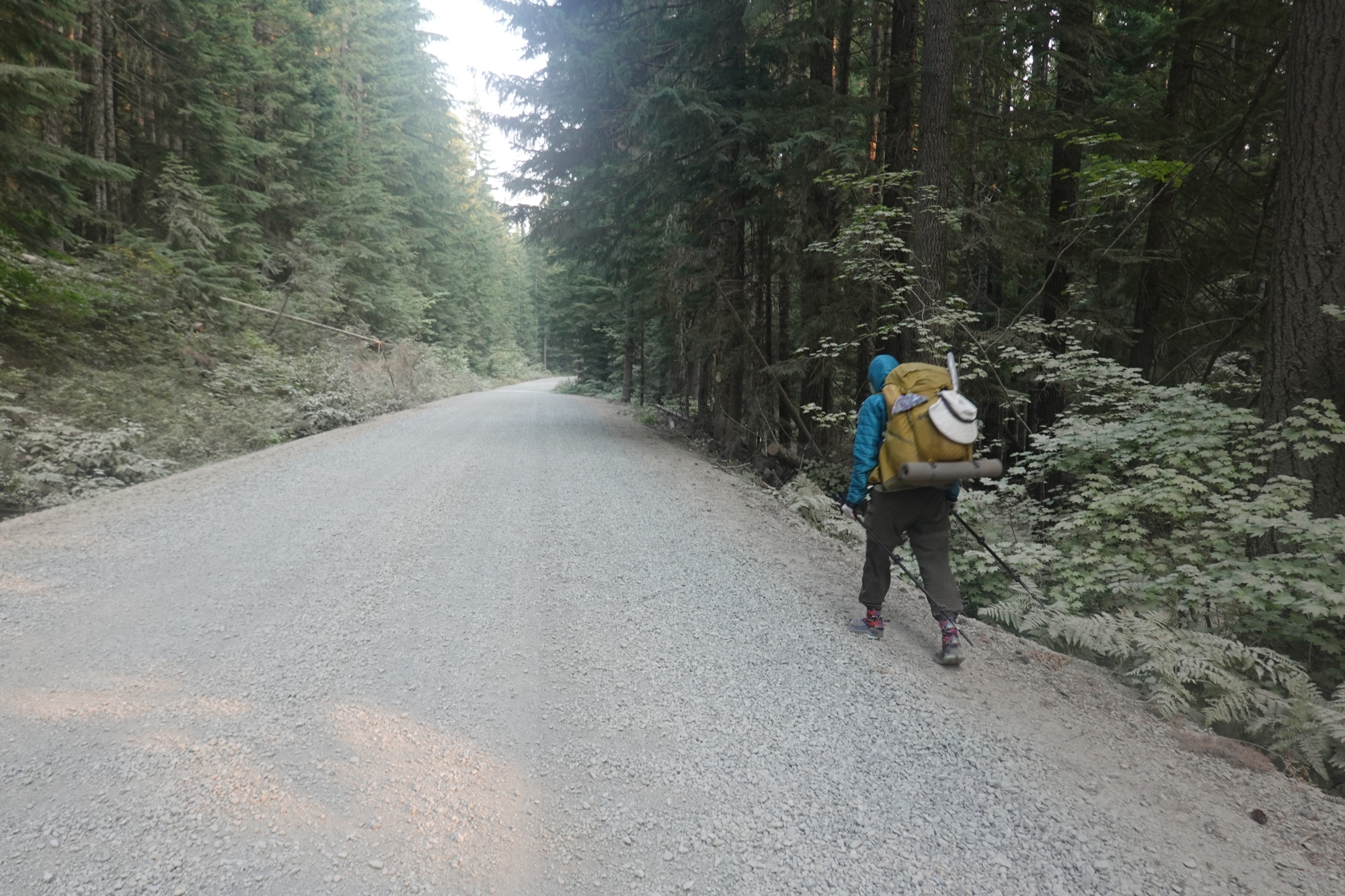
We slept in again. I finished the blog and packing my "new" pack.
 |
| A Gray Jay, aka " Canada Jay " formerly called "Whiskey Jack" lands on my hand. Unlike Blue Jays, Gray Jays aren't afraid of people |
It was so hot ( 85 degrees by 10 AM ) that we decided to wait until late afternoon to go back on trail.
 |
| My "New" pack loaded and ready |
So after checking out of the Inn, we hung out at the Kracker Barrel Store.
We started hiking at about 3:45. When we were about a half mile from the store, we saw a helicopter lower a sling bag to the ground and land near the store. Turns out there is a fire near Packwood and teams are assembling to fight it.
 |
| A fire crew prepares to fight the Packwood Fire |
We arrived on trail at 4 and met a man who had dropped off a section hiking friend. As we were chatting, he showed us an app called CalTopo which is a map app developed by UCLA that works similar to FarOut.
 |
| Dina trying out the CalTopo App. |
Dina downloaded it, but hasn't said what she thinks of it. At 5:30 we stopped at a stream to Camel Up and carry out 3L of water ( almost makes me feel like I'm in the desert again ).
 |
| A hiker signing a bench on the trail. |
 |
| I wonder who this is..... |
Normally, we could stop and get water from any lake or pond, but there's a Boil Water advisory for this area. Several hikers have gotten sick with Norovirus and stagnant water is the suspect. Personally ( especially after reading some of the comments in FarOut ) I think it's a case of HSL ( Hiker Stupidity and Laziness), in other words hikers getting sloppy with their personal hygiene. So we are only pulling water from streams and the next one is 10 miles away.
 |
| Dina steps off the trail as a group on horseback goes past. |
We just learned this afternoon that a lightning strike started a fire in R.C. Manning Provincial Park in British Columbia that has spread across the border, closing the last 15 miles of the trail.
We camped by a lake and watched smoke from the Packwood Lake drift in. All evening, we have heard helicopters flying back and forth (probably getting water to fight the fire).
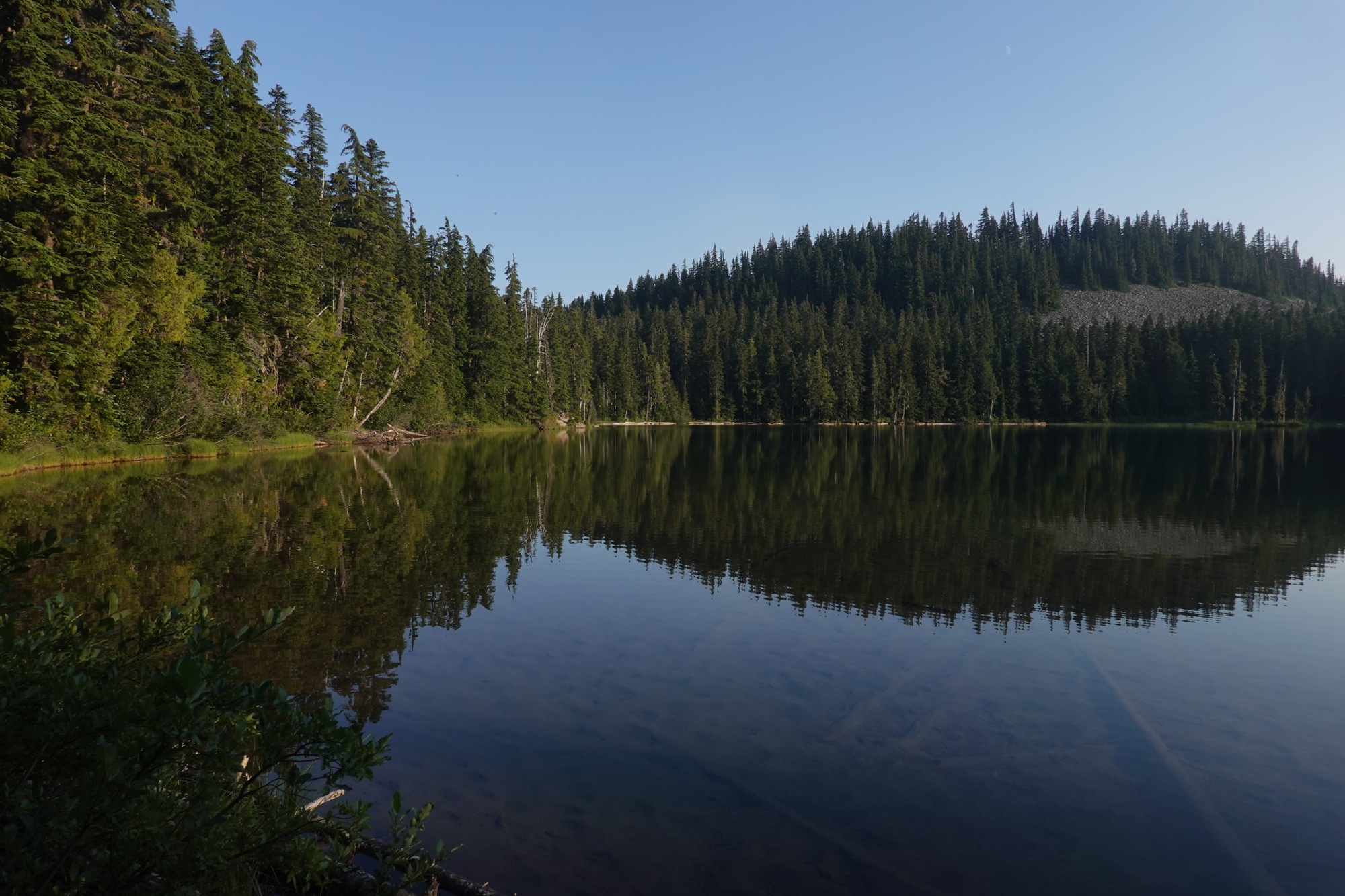 |
| We camped at Deer Lake. |
 |
| Sarah resting on the shore of Deer Lake |
 |
| Several Dragonflies kept the mosquitoes away. |
Day 156: Hiking in the Fog
Dina and I were on the trail by 8. Sarah started later as she prefers to hike alone.
 |
| The morning view, obscured by fog and smoke. |
I am still figuring out the new pack ( Mountain Hardwear PCT 55 for those who are interested ). It better than the last one, but still a little uncomfortable.
 |
| Dina found this fungi interesting. |
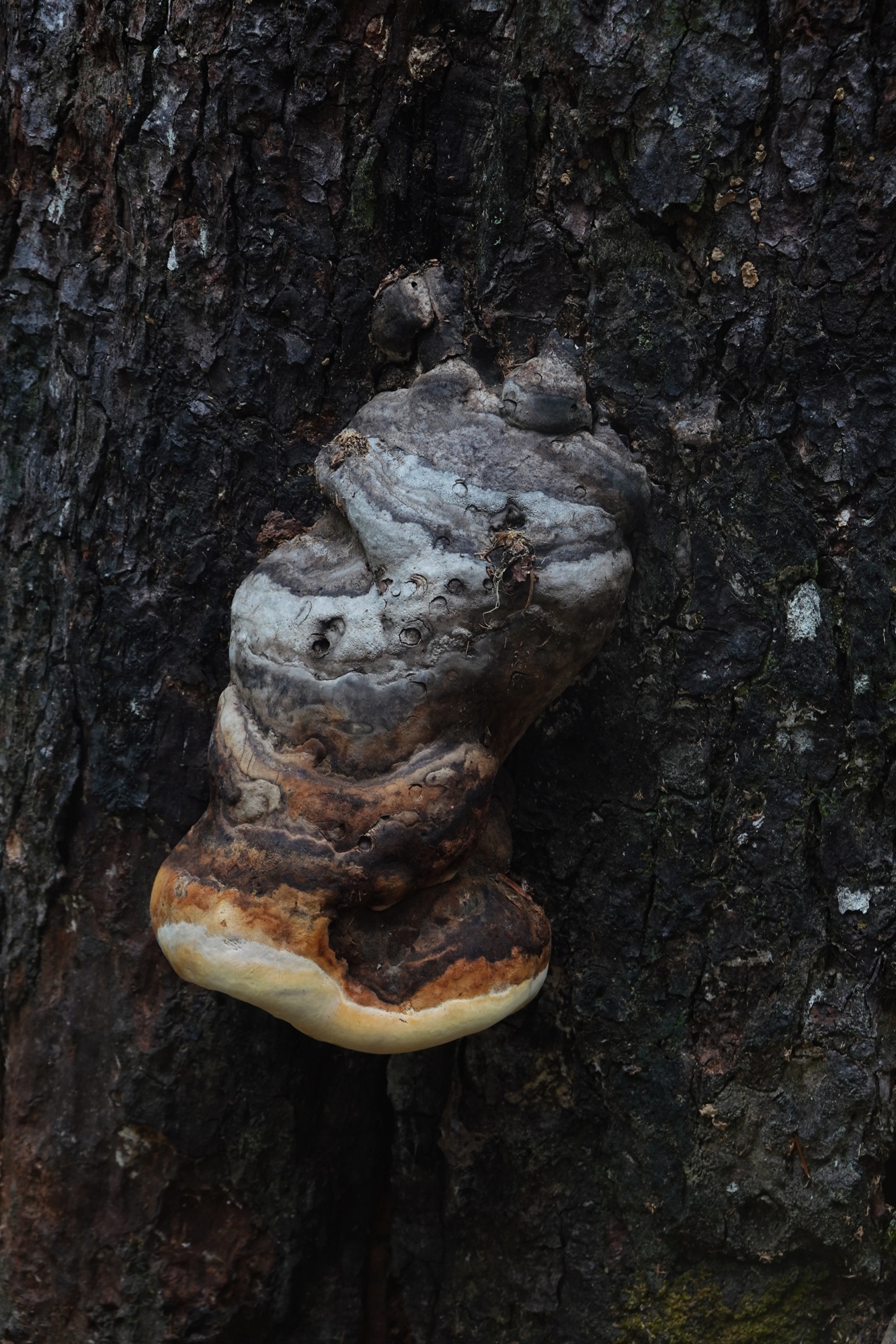 |
| Another fungi growing on a burned tree |
Dina has been backpacking for years and is giving me lots of good advice that helps. At 11AM, we passed two hikers (Dogfoot and V.I.P.) still in their tents. Dina pointed out that they had hiked 5 miles further than us yesterday, so they probably did some night hiking.
 |
| It was still cloudy and foggy at Noon. |
Dina and I stopped for lunch at Snow Lake, 7 miles up the trail and were soon joined by Sarah. It has been cloudy and foggy all day.
 |
| It didn't rain, but it was damp all day. |
 |
| Even though it didn't "rain", enough fog water fell from the trees to make puddles on the trail. |
 |
| A Hermit Thrush still hasn't migrated South. |
When I commented that I hadn't heard a helicopter, Sarah said it was to dangerous to fly. Turns out she has a fixed wing pilots license.
 |
| Smoke is still in the air after the fog and clouds lift |
The fog started to lift about 1:30 and the sun started to poke through the clouds at 3. By 5:30 the skies were partly sunny.
 |
| The fast flowing Bumping River |
 |
| Dina crossing the Bumping River on a Log "Bridge" |
When we reached our campsite at 6:30 there were people with horses camped nearby. Sarah went and visited the horses while Dina and I set up our tents further up the hill.
Dina and I had a good chat over dinner. This was the first real conversation I've had since the Knights ( Sir Doug and Sir Blaine ). Dina and I both find Sarah hard to "read". Dina is planning on coming back next year to hike from South Lake Tahoe to Timberline Lodge. I might join her ( sorry Kyle 😞 ).
Day 157: Late Start, Short Finish
I tried a new packing method and didn't start hiking until 8:30. I quickly passed Sarah who was talking on her phone ( Verizon and AT&T get better coverage than T-Mobile ). I caught up to Dina a couple miles later and we hiked on.
Dina told Sarah and I that we didn't have to wait for her, so Sarah scooted on ahead. About 10:00 we entered Mt Rainier National Park and soon got our first view of the mountain itself.
 |
| We are now entering Mt Rainier National Park |
 |
| Our first view of Mt Rainier |
Dina and I stopped for lunch at a lake. There was a couple there already.

I napped for about 30 minutes after lunch. Dina said I dropped off to sleep very fast. I must have needed the nap.
After I woke up, we resumed our hike and found Sarah finishing lunch 2 miles up the trail. We had originally planned to hike to Sheep Lake ( mile 2326.7 ), but by 5:30 Dina and I were in such pain that we camped by a small lake south of Chinook Pass.
 |
| A horsewoman leads her horse towards Chinook Pass |
After we set up camp, Dina showed me a good way to pack my pack. The forecast called for a chance of rain and dark, heavy clouds started to roll in by sunset, so Dina and I dug drainage trenches around our tents.
 |
| Dark clouds roll in over Chinook Pass. |
This has been the first threat of rain I have had since August 6, almost a month ago.
Day 158: Early stop for a photo op
We got a very late start ( 9 AM ) but made fairly good time.
 |
| Morning view from our campsite |
We crossed my first "Hiker Bridge" (a bridge made specifically to carry hikers over a road) at Highway 410 in Chinook Pass.
 |
| The Hiker Bridge over Highway 410 |
 |
| Dina starting across the Hiker Bridge. |
We stopped to use the "necessary" because it was there. There are two rules of through hiking: Never turn down free food (unless you are completely stuffed) and ALWAYS use a portapotty/ pit toilet / toilet when you come to one ( unless it is full and gross ). Before we left a kind US Forest Service Ranger topped off our Hand Sanitizer bottles.
 |
| The kind Forest Service Rangers who topped up our Hand Sanitizer bottles |
We finally reached Sheep Lake at 11:30 and stopped to collect water from the stream flowing out of the lake.

While we were there, a group of hikers passed us SoBo. Greg "Side Trail" gave us food he didn’t need because they were completing their hike.
 |
| Greg "Side Trails" giving us some food. |
We reached the top of Sourdough Gap ( mile 2327.9 ) at 1:15 and stopped for lunch. Looking south we could clearly see Mt Adams almost 90 trail miles to the South and could just make out Mt Hood over 200 trail miles South in Oregon !
 |
| 1 is Mt Adams The small faint triangle under 2 is Mt Hood |
We were joined by a woman on horseback.
 |
| The Equestrian on her way up to Sourdough Gap |
After a leisurely lunch, we started down the North side of Sourdough Gap ( I wonder what is the difference between a Gap and a Pass. The Wikipedia definitions aren't really clear ).
 |
| Dina leads the way down Sourdough Gap |
Later in the afternoon, Dina asked me to take the lead.


I learned something not so good about myself.

 |
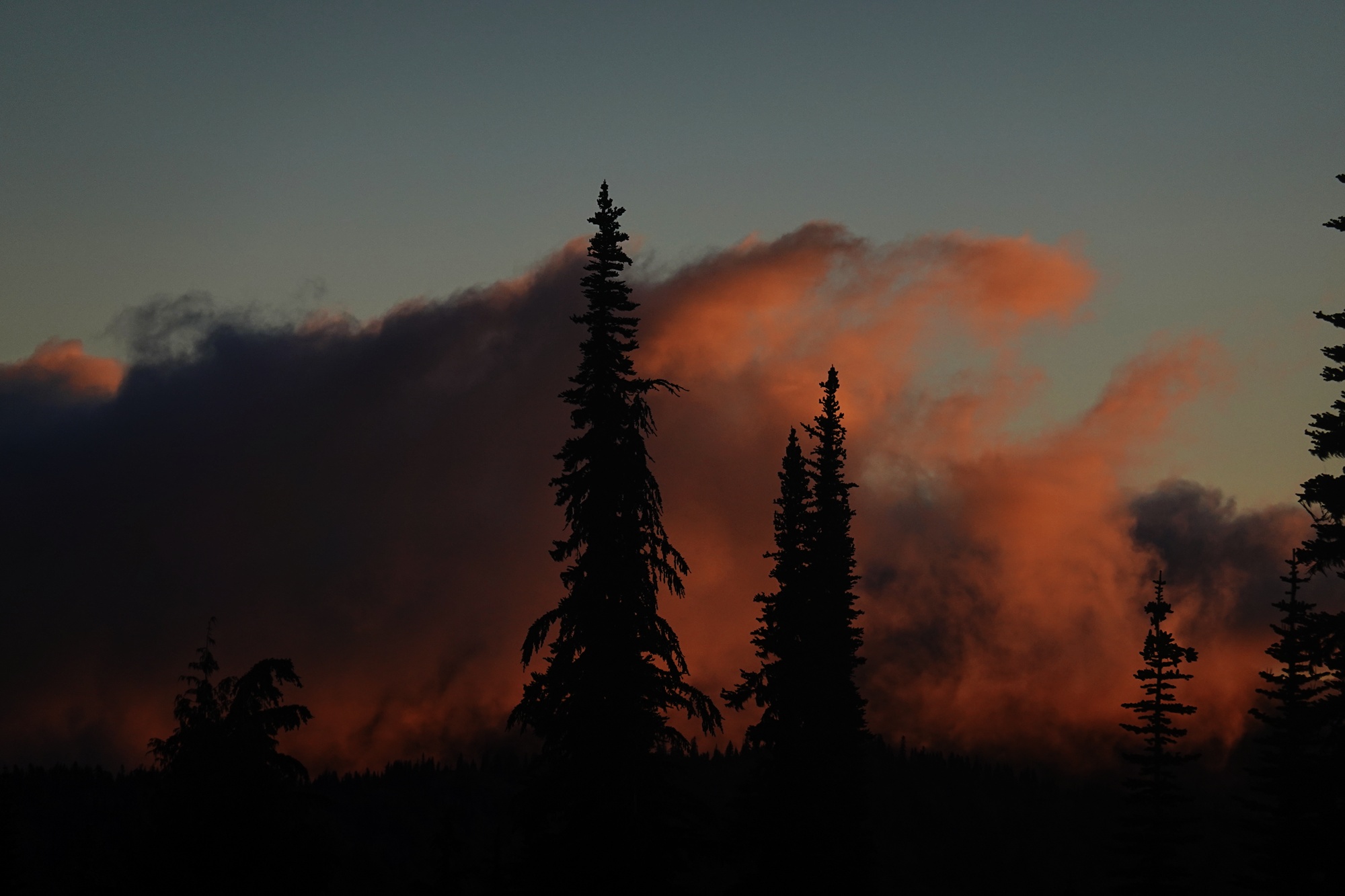
| Mt Rainier at Sunset |
Day 159: Photo Op and Burn Notice
I woke up at 6 and quickly dressed. I must have walked almost a mile going back and forth across the ridge to take photos of the sunrise and photos of Mt Rainier.

 |
| Mt Rainier at first light |
 |
| Dina packing up at first light |


We were on trail by 7:30. We stopped for water at a spring a bit after 8 ( and to go #2 far away from the spring ) and were back on trail before 9.
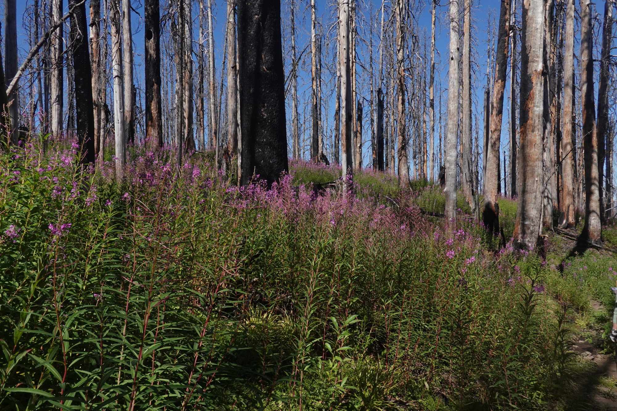
We spent most of the day hiking through an area that burned last year. I called it the "Dead Forest" because I saw very few living trees and hardly any seedlings or saplings.

We stopped for lunch near a stream in the burn zone at 1 after hiking through almost 9 miles of scorched, dead forest. After lunch we continued our hike through the burn zone, but this stretch was carpeted with Fireweed, which made for a more pleasant view.
 |
| Fireweed growing from a burned log. |
About 3, we got a message from Sarah, who we hadn't seen in two days. She had hiked ahead of us on the 4th. She has decided to hike on alone. She plans to go as far North as far as she can. She will then go back and hike the sections she skipped ( due to fire closures ) in Northern California and Southern Oregon. Dina and I both wish her well and hope she has a good hike.
Dina and I are planning on hiking at our own pace ( Sarah is doing 20 miles a day, Dina is doing 12 - 15 ) .


We haven't decided how far we will go. The fire at the border ( and another one a little south of the border ) are things to consider. After that, we plan on going home ( I plan to visit my Aunt, Uncle and the Cousins I haven't seen in over 15 years first ). We are both thinking of coming back next summer ( sorry Kyle 😐) to hike the sections we skipped.
We made it to Mike Urick cabin in the evening.

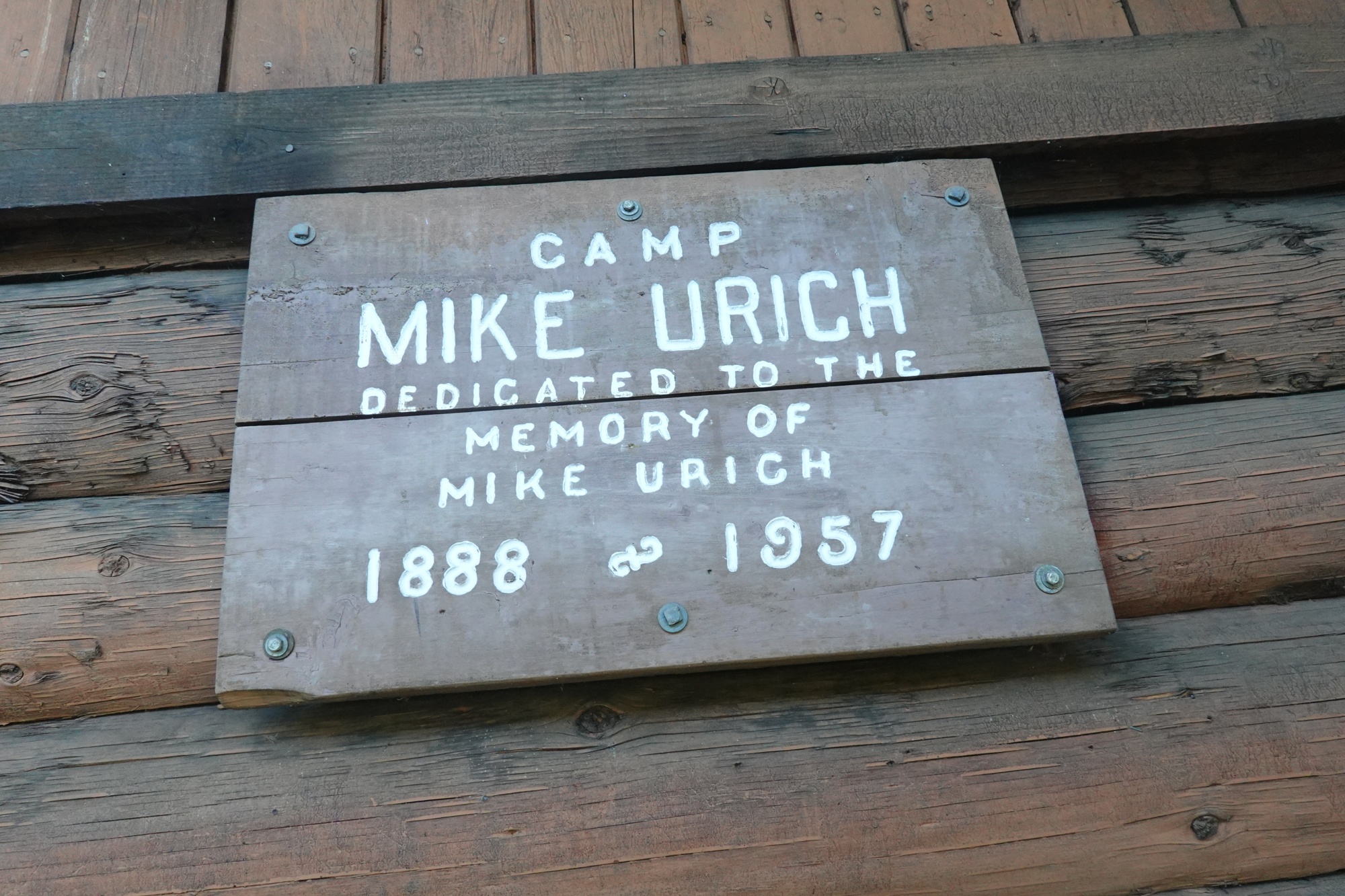
The cabin was built in the 50's by a local snowmobile club in honor of one of its members. The cabin is open to the public yearround as a place to stay.

We drew water from a nearby stream, before moving on. There were several comments in FarOut about the water from that stream, but neither of us got sick from it. We think the hikers who got sick were careless and lazy with their hygiene.
Day 160: Dina does laundry on trail
We slept in and didn't start hiking until 8. We still managed to hike almost 5 miles to the spring we were aiming for by 10:30.
 |
| Another view of Mt Rainier |
After we gathered water Dina washed some clothes. This annoyed me because she didn't tell me how long it would take or why she needed to do it ( I've been wearing the same socks and underwear since White Pass ) and it took an hour. Part of why I was annoyed was because our next water source was 12 miles away and I was worried we might not get there until after dark.
 |
| One of the original trail markers |
 |
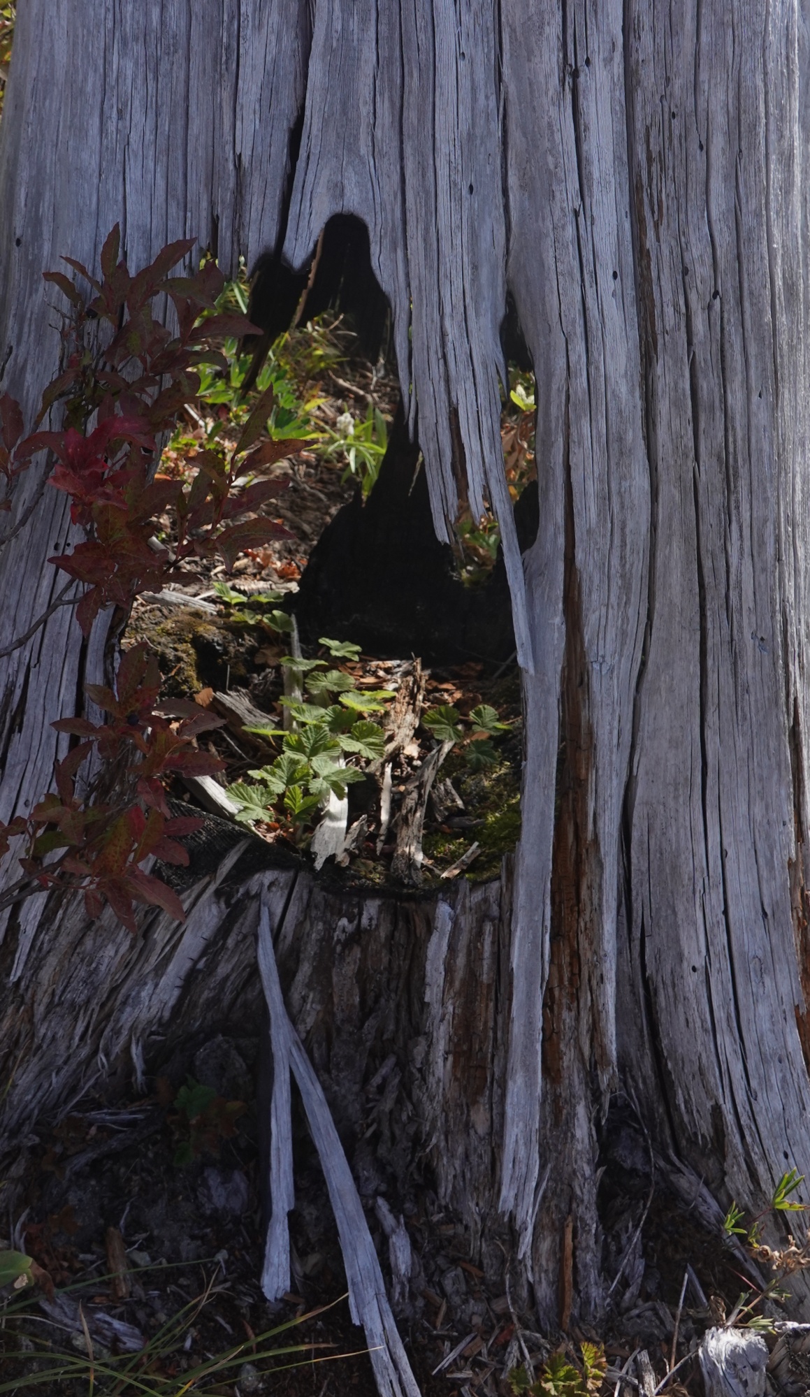
| If you ever wondered how branches stay attached to trees, now you know. The branches grow out from the middle of the tree |
 |
| A forest terrarium |
My fears proved groundless as Dina set a good pace ( I don't get annoyed if she is setting the pace because I'm not stopping and waiting for her). Along the way, we had several good views of Mt Rainier and a low level flyby by three Turkey Vultures.

Hopefully they aren't a bad omen. We reached the spring at 6 and quickly gathered some water. After checking the camping options nearby, hiked 0.6 miles to Tacoma Pass, arriving a bit before sunset. Tacoma Pass reminds me of Island Pass in the Sierras. They are both non-pass passes, in other words they don't look like mountain passes.
 |
| Proof Bigfoot exists ? |
All in all it was a good day. Dina managed to hike almost 17 miles today. Good Job Dina !!
Day 161: The Stampede Shortcut
 |
| Dina's tent seen from my tent. |
We started hiking at 8:30 and were soon passed by "T-Mo" ( short for Toronimo) who is hiking from White Pass to Snoqualmie Pass to fill in a gap that she had to skip last year because of a fire closure. This will complete her through hike.
 |
| T-Mo |
We were then passed by "Short Cut" who is from Germany. Later we were passed by "Over The Hill" . She is from Sweden and lives in Belgium. She was given her trail name because she turned 50 on the trail.
 |
| "Over The Hill" |
As we hiked I saw a section of cut tree trunk that at first resembled a tree stump cut 4 or 5 feet high. Dina called it a "Hiker Cocktail Table", so she took a few photos of me at the "Table" drinking a "Tacoma" ( named after the nearby pass ). To make a Tacoma add one ( or two ) packets of Breakfast Essentials ( Milk Chocolate flavor ) and one packet of Tasters Choice Hazelnut Instant coffee to 0.8 Liters of water in a bottle and shake well. For added energy add two tablespoons of WHOLE Milk Powder (don't use fat free, it's a waste of money).
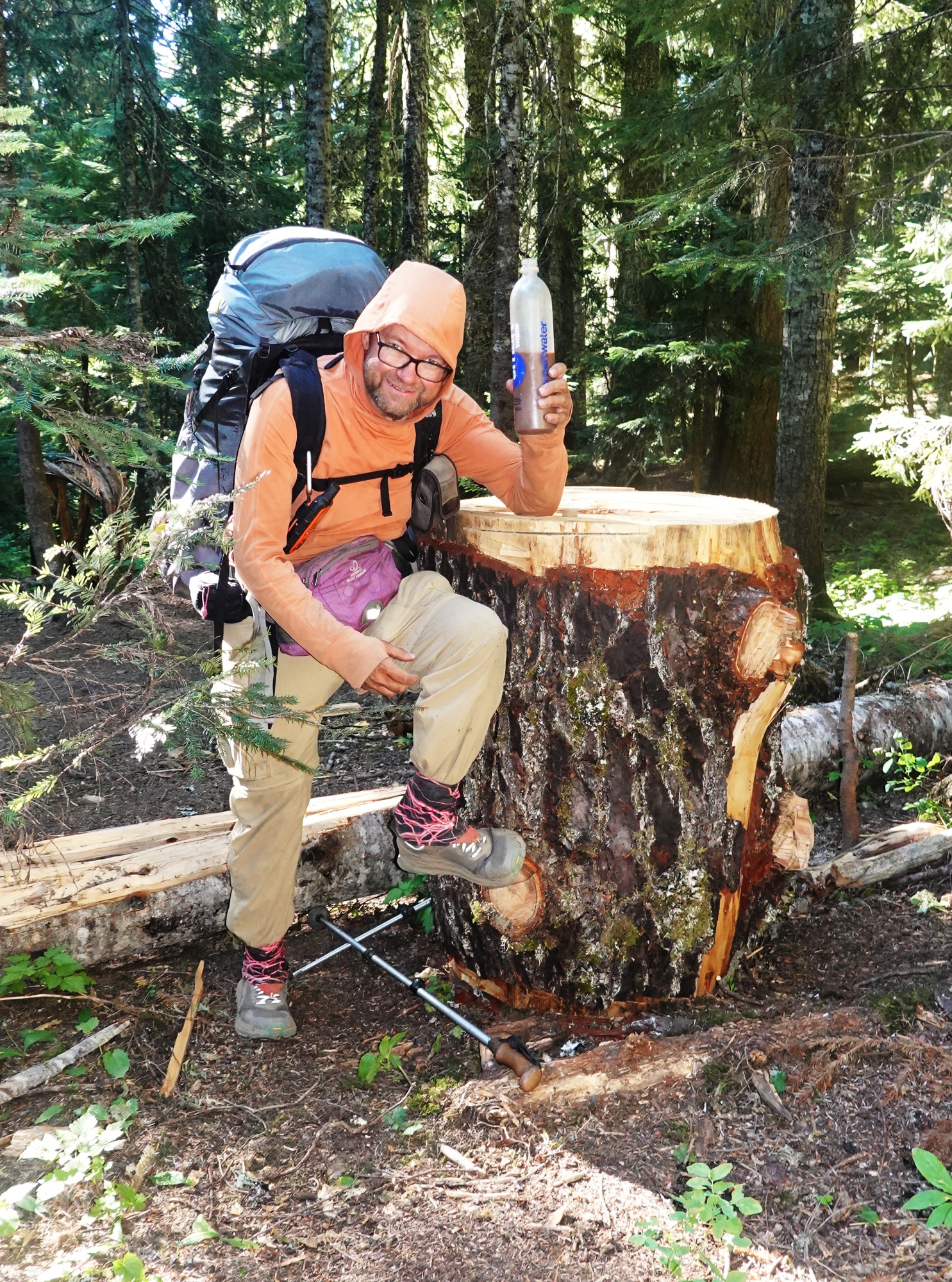 |
| The "Hiker's Cocktail Table" |
 |
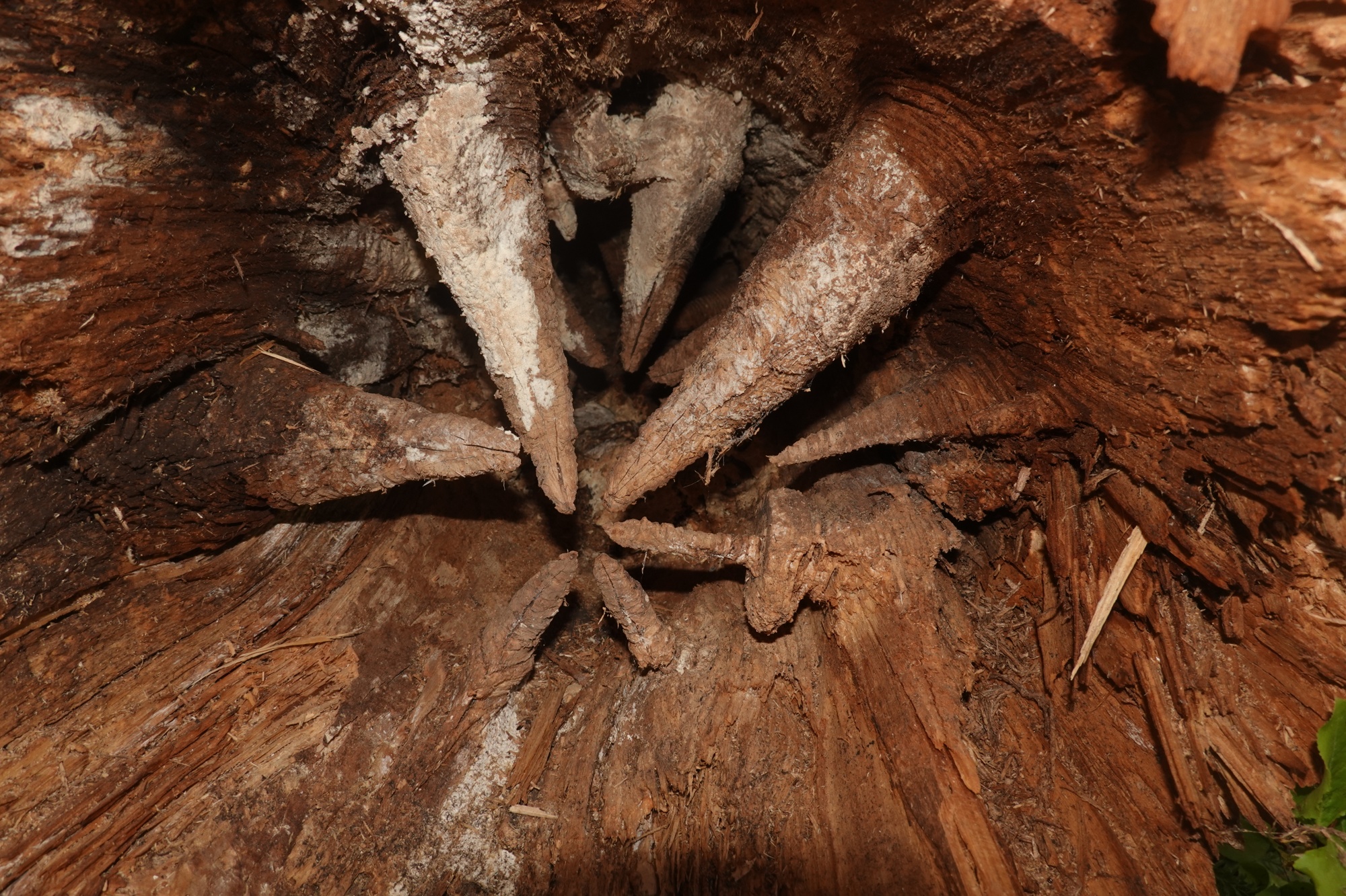
| We saw several tree sections with 3 inches of bark cut off each end. Don't know why. Maybe to promote decay ? |
We had lunch with Over The Hill, Shortcut and a pair of Section Hikers near a Spring. It's always good to camp or eat near a water source, because you can drink as much water as you want and Camel Up before you leave. According to Over The Hill, there are still some through hikers behind us, which I find rather surprising.
 |
| "Over The Hill" and Dina hike through a meadow . |
 |
| We weren't the only ones on trail... A bear was here |
 |
| Mr ( or Mrs ) Bear had berries for lunch. |
She said that several hikers stayed in Cascade Locks until the Wednesday after Trail Days to avoid getting caught in the "Bubble" and having a hard time getting campsites at the end of the day.
At 4 PM, we reached a dirt road at Stampede Pass and decided to take a gamble. According to a comment in FarOut, the road would lead us to the Iron Horse Trail, which could save us 5 miles of hiking.
 |
| Which way do we go ?? |
 |
| Dina starts down the road from Stampede Pass |
Dina had planned on staying at the Summit Inn in Snoqualmie, but when I mentioned that the Washington Alpine Club was hosting hikers, she made reservations for us for Friday and Saturday. The comments also hinted at a campsite 3 miles down the "alternate" So, down the road we went. We reached the campsite and were set up by 6:30.
Day 162: Into Snoqualmie
We started the hike to town at 8:30. There was a lot of traffic on the dirt road during the early morning, but not much as we hiked towards town.
 |
| On the road again. Notice the dust covering the leaves of the plants nearest the road. |
We reached the Iron Horse Trail a bit after 9 and started the 8 mile trail hike towards town.

The Iron Horse Trail was originally part of the Chicago, Milwaukee, St. Paul and Pacific Railroad ( aka "The Milwaukee Road") mainline to the Seattle area built in the early 1900's. We saw the foundations of the snowsheds that were built to protect the tracks from avalanches and the bridges are intact.


This area is in a severe drought. If a month without rain isn't proof enough, you can look at Keelchelus Lake. Although it is a "natural" lake, its water levels are controlled by dams and you can see the "bathtub" rings and treestumps that were once underwater, quite clearly.

We reached the end of the trail at the old Milwaukee Road Hyak station, now restrooms for people using the trail.
 |
| Why the station is named Hyak when the place nearby is called Snoqualmie Pass and the town of Snoqualmie is 20 miles away, I haven't a clue. |
We had to road hike along Highway 906, but the shoulder was wide and the traffic was light. We stopped at the Waffle House attached to the Summit Inn for a late lunch, then Dina picked up her package at the Inn. We then hiked out of town to the Washington Alpine Club.
 |
| Note the stairs on the right: that is how you enter the WAC in the winter..... |
The Washington Alpine Club ( or "The WAC" as it is fondly called ) is one of the oldest outdoor organizations in the Northwest. It was founded by a group of friends who liked to camp on the slopes of Mt Rainier in 1916. Since then The WAC was active in the creation of Mt Rainier and North Cascades National Parks. They are currently working for the creation of the Wild Sky Wilderness. The WAC lets PCT hikers stay at their lodge for $30 a night plus doing a chore. For that princely fee, a hiker gets free laundry, free shower, a clean bunk plus all you can eat breakfast and dinner. Pretty good deal, if you ask me. Sarah was here when we arrived. She had planned on hiking out this morning, but had trouble shipping a box home.
Day 163: Zero at Snoqualmie Pass
Dina and I slept in then ate a big breakfast of pancakes, donuts, scrambled eggs, fruit and bread. Sarah also stayed, but didn't have breakfast as she wasn't feeling well. After breakfast, we checked the weather and fire reports. They don't look good. Hikers are evacuating Stehekin ( the town Dina and I were hoping to finish this year's hike at ). The air quality is horrible. Air Quality is rated on a scale from 1 ( pure, unpolluted air ) to 300 (don't even go outside unless it is absolutely necessary). The Air Quality Index for Stehekin is above 500 !!
 |
| The Men's dorm at the top of the stairs. |
 |
| Wall "art"outside the Ladies Dorm |
 |
| The Great Room / Library |
 |
| Part of the Library collection. |
 |
| Memorial to a member who passed. |
Based on the smoke at Stehekin and the fire at the border, Dina and I decided to take another Zero tomorrow and try to get a hitch ( or several hitches ) to Trout Lake. Dina needs to hike the stretch from Trout Lake to Cascade Locks, because she skipped it earlier. If we can't get a ride to Trout Lake, we will get a ride to the town of Snoqualmie, about 20 miles from here. We will go home after either hiking from Trout Lake to Cascade Locks or getting a ride to Snoqualmie.
In the afternoon, Dina and I went to "town" to do some shopping and see what was in the hiker boxes. There wasn't much to buy that we needed and nothing of interest in the hiker boxes.
Day 164 ( September 11 ) The Hike Ends
This morning at breakfast, Dina told me she is going home tomorrow.
 |
| Dina doing yoga while scheduling her train ride home |
She has arranged for one of the hostesses here at WAC to give us a ride to the town of Snoqualmie, where we will get a bus to Seattle.
 |
| Sarah deciding what she wants from my food bag. The rest went into the hiker box. |
After I posted the news, Matt Hastings suggested that I do some sightseeing in Seattle.
 |
| The hikers gather for dinner. |
 |
| Texas Chili. The Fritos are supposed to be on the bottom, with cheese sprinkled on them and the Chili on top. Now I know... |
 |
| Farewell to Olympus. After almost 600 miles, these shoes are worn out. |
I plan to spend a day or two sightseeing in both Seattle and Vancouver before going to Edmonton to visit relatives.
Comments
Post a Comment